
124
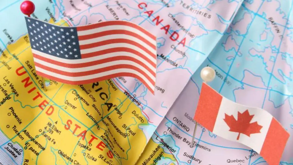
Donald Trump's suggestion Canada becomes the 51st state has brought into the spotlight international boundaries that have remained firm since a Welshman plotted them more than 200 years ago.
Born in 1770, Dafydd ap Thomas, or David Thompson as he was better known, surveyed and mapped more than four million square miles of the country's interior.
He escaped poverty, and despite being partially blind and having a permanent limp from a badly broken leg, he used the stars to plot latitude and longitude.
His achievements include being the first westerner to navigate the Columbia River from its source to the Pacific Ocean, and charting the border between Canada and the US.